Hiking El Caminito Del Rey
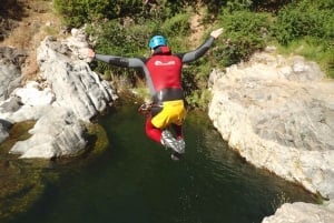
Events & Parties
Tours & Day Trips
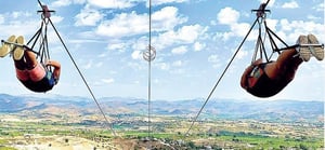
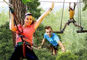
Activities
THE HISTORY:
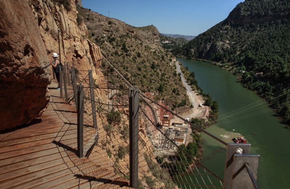
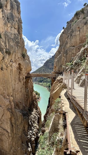
The Gorge Desfiladero de los Gaitanes is a natural beauty spot, placed in the centre of the province, between the towns of Alora, Antequera and Ardales. This is one of the most beautiful spots of the Malaga Mountains. Between its steep and considerably high walls, the River Guadalhorce flows, after having passed through the reservoirs El Chorro (The Spurt), Guadalhorce, Guadalteba and Gaitanejo.
The Gaitanes Gorge is a canyon, carved by the river Guadalhorce in the territory of Álora, which at some points is only 10 meters wide and 700 meters deep. The nothern access to it is via Guadalhorce reservoirs and the southern is via El Chorro.
The construction of a water channel from the reservoirs in the north to El Chorro, which was meant to make the most of the slope in a hydroelectric power station, was carried out together with a path for maintaining the channel. This one is known as El Caminito del Rey Path (The Kings’s Little Pathway) because it was first opened by King Alfonso XIII. This path, about 3 kilometers long, has just been refurbished, and it goes along vertical walls and a footbridge over the gorge on the same waterway.
Until the arrival of the High Speed Train (AVE), the gorge was the only rail access to Málaga from the inland part of Andalusia, with a long tunnel in the east wall of the gorge. Today, there is another tunnel located one kilometer east, under Huma Mountain, used as an access by high-speed rail.
THE HIKE:
El Caminito de Rey hike is spectacular all way long: from the Count of Guadalhorce Reservoir to its end at El Chorro Dam. Placed in unique natural surroundings, the path stretches between two gorges, canyons and a large valley, along pathways or boardwalks. All the texts about the path, as well as the photos and videos that follow, were created after many visits of our experts to the site, and their hard work that had lasted for several months.
The route is linear, not circular, and it goes in one direction, downwards from the north to the south. Its beginning is in the Town of Ardales and the end in Álora. This route is almost 8 km long, and takes from three to four hours to be crossed. Full length of the path El Caminito del Rey is 7.7 km.
Due to the quality of terrain (uphills, downhills, steps, boardwalks...), it is not advised for anyone with mobility issues. You dont have to have a high level of fitness but you must be able to move. It is also not advised for anyone with altitude issues or Acrophobia.
We advise you take suncream, water and energy bars in case you are hungry. You are of course allowed to take photographs all along the path but be warned if something drops between the boards you likely will not be getting it back, so hold tight.
There are seven parts of the route:
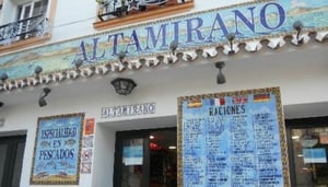
Visitor Reception Area Shuttle bus stop and a car park El Kiosko Restaurant
Two access areas: the path and Gaitanejo way (2.7 km or 1.5 km long route, depending on your choice).
Visitor Reception Centre and Gaitanejo Reservoir.
First Canyon Gaitanejo Gorge (2.9 km from the entrance to the exit)
Second Canyon Las Palomas Cliff
Hoyo Valley
Third Canyon Gaitanes Gorge (Desfiladero de los Gaitanes)
Last Stretch Boardwalk to the exit
Downwards path to the El Chorro Train Station, called Avenue Caminito del Rey (2.1 km).
You must book tickets in advance, in July & August it is recommended you book way ahead of time as dates can be booked up weeks in advance.
You can book 2 kinds of tickets, general admission & a guided tour.
With all tickets, you receive a protective hard hat. With the guided tour you receive earphones so you can hear the guide speaking in Spanish and English. The guide stays with you at all times.
As the tour is linear not circular we advise you book a ticket including with the bus to return to the start, as you will need this anyway and saves paying on board.
The buses are every 20-30 mins so you dont have to wait too long at the end. The return bus journey is almost as hairy as the walk itself with the small, windy roads.
There are a couple of restaurants at the first point/parking spot. From here you must walk around 200 meters to the main gate where you will receive your hard hat etc here there is also a toilet.
At the end of the walk you will find another office where you drop your hat and there are some refreshment stalls also.
From here you have to walk approx 200 meters to the train station to catch the bus to take you back to the start.